


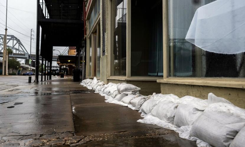


Residents of Baton Rouge and surrounding areas should wrap up their last-minute preparations for Hurricane Francine soon as weather will start deteriorating this afternoon with the full force of the storm waylaying the area starting in early evening and lasting until early Thursday morning.
“Any kind of last minute prep should be rushed to completion and everybody should be in their safe spot to ride out the storm between noon and 3 p.m. or so. Things are just going to get worse after that, said Danielle Manning, a meteorologist with the National Weather Services said at 10 a.m. Wednesday.
The track of the storm remains largely the same, according to an 10 a.m. NWS update. The storm was located about 150 miles southwest of Morgan City with maximum sustained winds of 90 mph.
Baton Rouge remains under a hurricane warning, with tropical storm and hurricane conditions possible during the day and through the night.
Rain has begun in much of the Baton Rouge area and will be constant while the storm passes through.
Manning said that the federal weather agency continued to predict four to six inches of rain in Baton Rouge, but some locales may see as much as 12 inches depending upon how the weather hits.
“It could be as high as that if a band (of rain) sets up over an area,” Manning said.
Wind speeds will pick up steadily during the afternoon. NWS is forecasting that, at its worst, winds will be in the 25 to 35 mph range in Baton Rouge, with gusts up to 60 mph.
Those winds will get stronger in places closer to the coast and more directly in the storm’s path. For instance, St. James Parish residents can expect winds between 55-75 mph with gusts up to 100 mph.
The NWS also tries to estimate the worst case scenario for localities in the path of tropical storms it the track changes or the storm intensifies. Those estimates that are updated four times a day. At 10 a.m., the worst case scenario for Baton Rouge were winds between 58 and 73 mph. An hour later, the worst case scenario increased to 74 mph to 110 mph.
Megan Williams, an NWS meteorologist, said winds of 110 mph in Baton Rouge are not likely, but said winds above 75 mph, the threshold for a hurricane are possible.
"I do think you could see some hurricane force winds," Williams said. "But I would be surprised if it was that much."
Scattered power and communications outages are expected.
A hurricane warning situation means there could be some damage to roofing and siding materials, along with damage to porches, awnings, carports, and sheds, NSW said.
A few buildings could have window, door, and garage door failures, and mobile homes could be damaged, especially if unanchored.
Unsecured lightweight objects could also become dangerous projectiles, the weather agency said.
Large trees could be snapped or uprooted, with greater numbers in places where trees are shallow rooted.
Fences and roadway signs could be blown over, and some roads might be impassable from large debris.
A few bridges, causeways, and access routes could be impassable, the weather agency said.
